Rock Fall
We provide you with sound documentation, analysis and evaluation of natural hazards in the alpine region.
- Event documentation and event analysis
- Hazard assessments and risk analyses
- Assessment of protective structures
- Measurement monitoring and 2D/3D simulations
- Hazard zone planning and planning of protective measures
The team of GEO Unterweissacher is specialized in recording, analyzing and assessing natural hazards. For recording and assessment, we rely on traditional geological craftsmanship and state-of-the-art technology.
Your advantages with GEO Unterweissacher:
- Risk analysis for municipalities, businesses and private individuals: Natural hazards can be a concern of municipalities, business owners or private property owners. The analysis provides them with a well-founded risk assessment according to the latest scientific standards.
- Hazard zone maps: The data from the survey and downstream modeling are made clear as readable maps for the layman or the expert, depending on the client.
- Elaborated packages of measures: Through the analysis, decision-makers not only know about the hazard situation in the area concerned, but also where and, above all, how action should possibly be taken.
GEO Unterweissacher analyzes your hazardous situations:
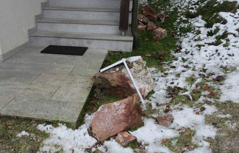
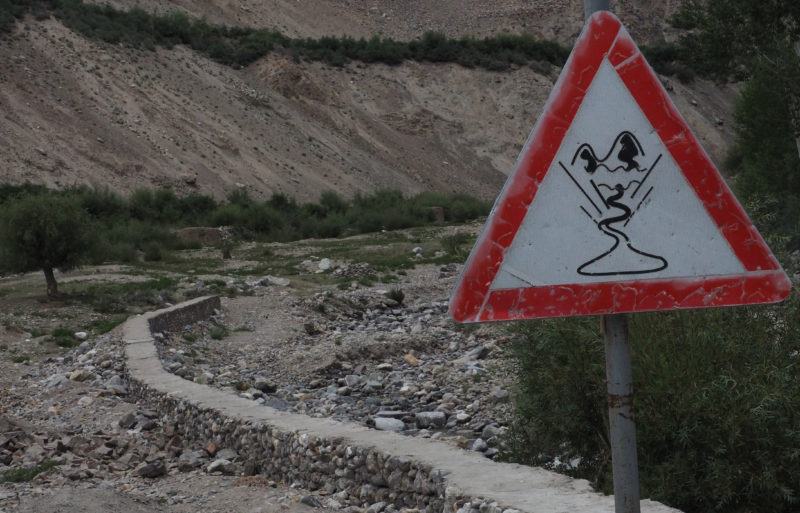
Gravitational natural hazards such as rock and block fall, rockslides, hillslope debris flows, landslides, floods and avalanches are omnipresent in the alpine region. Due to increasing settlement pressure as well as the consequences of climate change, these processes pose an increasing threat.
The assessment of the complex, dynamic processes is a challenging task. Depending on the type of process, there are different hazard potentials. These are hardly comparable with each other due to different localities. Therefore, blanket statements are practically impossible in the alpine region. Our experts assess the individual cases on site.This lays the foundation for the qualitatively and quantitatively optimal approach to meeting the protection objective.
In a professional geological-geotechnical approach, the required data are collected in the field. We are very open to the latest technology. Thus, after an intensive test phase, we use various equipment to simplify, improve as well as increase the safety of work.
At the end of an analysis, the client receives a Map as well as an expert opinion on the situation. In this way, a decision-making process and an appropriate planning of measures are made possible.


Your GEO Unterweissacher risk analysis for you as a customer:
Silent witnesses
Silent witnesses are traces left in the terrain by falling rocks. The position, dimensions and age determination give us information about the course of the fall and the intensity of a possible rockfall.
Protective measures
Existing protective measures are checked for suitability for the current hazard assessment and included in the risk analysis. If necessary, renovations, modifications or extensions are suggested.
Forest
One of the most efficient protective measures against gravitational processes is forestation. An inventory provides information about the forest structure and condition. A catalog of measures to optimize the protective effect is drawn up.
Buildings
To evaluate and represent rockfall hazards in the best possible way, delivery, transit and deposition areas are divided into several homogeneous areas. These homogeneous areas represent areas of similar geological or geotechnical parameters.
Homogeneous areas
The structure of rock faces can be divided into one or more homogeneous areas. A rockfall risk assessment is performed for each homogeneous area.
Design blocks
Past events must be analyzed and assessed to evaluate the magnitude of a risk. The design value reflects the event frequency, as well as the event amplitude of the documented incidents and the geological-geotechnical conditions of the terrain. This value is decisive for computer-aided modeling. Zitat Roli: In a risk analysis and assessment, it is important to communicate the data obtained by us as experts to the client as concrete, easily understandable information.

GEO Unterweissacher Services:
Initial telephone consultation
Transparent costs
Prompt initial inspection
You still have questions? Please contact us!
Our expert for natural hazards:
DI Roland Strauß
Project Geologist
Regio-Tech 1, 6395 Hochfilzen, Austria
Mobil: +43 664 91 27 276
E-Mail: roland.strauss@geo-unterweissacher.at
